Holbrooks Primary Care Centre
Introduction
The photograph on this page of Holbrooks Primary Care Centre by Niki Walton as part of the Geograph project.
The Geograph project started in 2005 with the aim of publishing, organising and preserving representative images for every square kilometre of Great Britain, Ireland and the Isle of Man.

There are currently over 7.5m images from over 14,400 individuals and you can help contribute to the project by visiting https://www.geograph.org.uk
Holbrooks Primary Care Centre
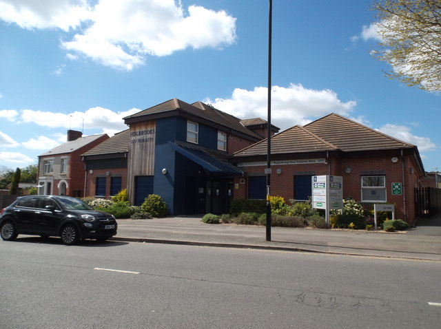
Image: © Niki Walton Taken: 22 Apr 2017
On a site formerly occupied by derelict housing on Wheelwright Lane. An alleyway to Parkville Highway is just visible here to the right; out of shot on the other side of the alleyway entrance is Holbrooks Dental Centre.
Images are licensed for reuse under creativecommons.org/licenses/by-sa/2.0
Image Location
Latitude
52.448451
Longitude
-1.511317