Glasgow Road, Port Glasgow
Introduction
The photograph on this page of Glasgow Road, Port Glasgow by Thomas Nugent as part of the Geograph project.
The Geograph project started in 2005 with the aim of publishing, organising and preserving representative images for every square kilometre of Great Britain, Ireland and the Isle of Man.

There are currently over 7.5m images from over 14,400 individuals and you can help contribute to the project by visiting https://www.geograph.org.uk
Glasgow Road, Port Glasgow
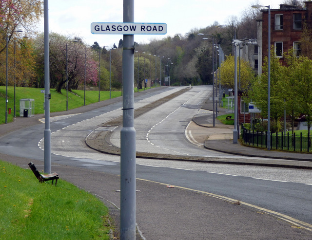
Image: © Thomas Nugent Taken: 17 Apr 2017
Now almost deserted as the lower east side of Port Glasgow heads towards ghost-town status. This was the main A8 Glasgow Road until the mid 1980s, at which time the A8 was rerouted on the other side of the railway line (behind the trees on the left).
Images are licensed for reuse under creativecommons.org/licenses/by-sa/2.0
Image Location
Latitude
55.93256
Longitude
-4.675829