view of fields from footpath near Cotton End
Introduction
The photograph on this page of view of fields from footpath near Cotton End by ian saunders as part of the Geograph project.
The Geograph project started in 2005 with the aim of publishing, organising and preserving representative images for every square kilometre of Great Britain, Ireland and the Isle of Man.

There are currently over 7.5m images from over 14,400 individuals and you can help contribute to the project by visiting https://www.geograph.org.uk
view of fields from footpath near Cotton End
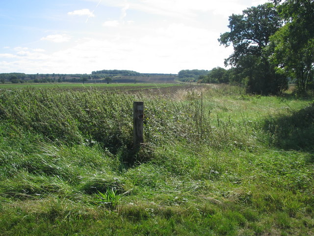
Image: © ian saunders Taken: 26 Aug 2007
In distance: Manor Wood on horizon ahead with Exeter Wood to the right: woodland on the rising land of the Greensand Ridge
Images are licensed for reuse under creativecommons.org/licenses/by-sa/2.0
Image Location
Latitude
52.093916
Longitude
-0.399817