Cycleway Stile, Royton
Introduction
The photograph on this page of Cycleway Stile, Royton by michael ely as part of the Geograph project.
The Geograph project started in 2005 with the aim of publishing, organising and preserving representative images for every square kilometre of Great Britain, Ireland and the Isle of Man.

There are currently over 7.5m images from over 14,400 individuals and you can help contribute to the project by visiting https://www.geograph.org.uk
Cycleway Stile, Royton
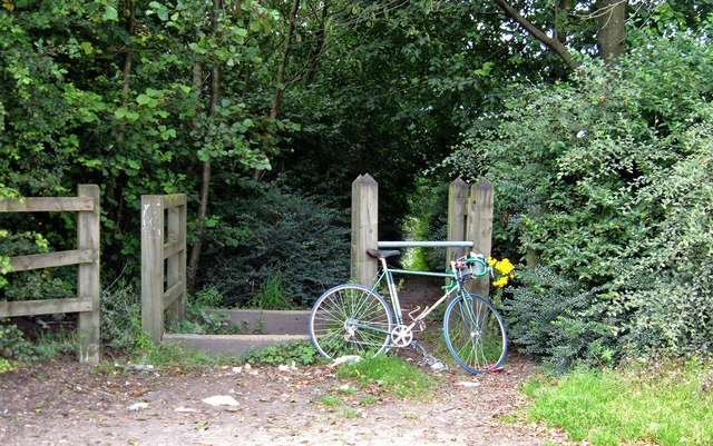
Image: © michael ely Taken: 26 Aug 2007
This is the start of a recreational cycle route that uses the bed of a disused railway line. It runs into Royton from Higginshaw Lane via Salmon Fields. The route is also used by dog-walkers - and not all are in control of their pets - so cyclists beware.
Images are licensed for reuse under creativecommons.org/licenses/by-sa/2.0
Image Location
Latitude
53.556877
Longitude
-2.105629