Maize stubble near Lower Hayes Farm
Introduction
The photograph on this page of Maize stubble near Lower Hayes Farm by Hugh Venables as part of the Geograph project.
The Geograph project started in 2005 with the aim of publishing, organising and preserving representative images for every square kilometre of Great Britain, Ireland and the Isle of Man.

There are currently over 7.5m images from over 14,400 individuals and you can help contribute to the project by visiting https://www.geograph.org.uk
Maize stubble near Lower Hayes Farm
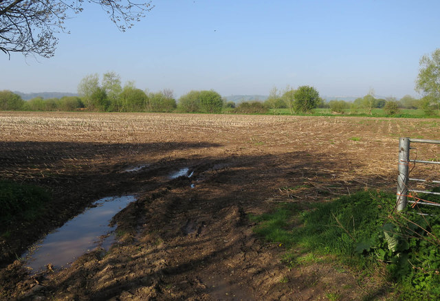
Image: © Hugh Venables Taken: 9 Apr 2017
Being used to arable land, the amount of land used for fodder crops relative to the number of animals was noticeable.
Images are licensed for reuse under creativecommons.org/licenses/by-sa/2.0
Image Location
Latitude
51.079711
Longitude
-2.760967