29-32, Wantley Hill Estate, Henfield
Introduction
The photograph on this page of 29-32, Wantley Hill Estate, Henfield by Simon Carey as part of the Geograph project.
The Geograph project started in 2005 with the aim of publishing, organising and preserving representative images for every square kilometre of Great Britain, Ireland and the Isle of Man.

There are currently over 7.5m images from over 14,400 individuals and you can help contribute to the project by visiting https://www.geograph.org.uk
29-32, Wantley Hill Estate, Henfield
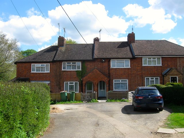
Image: © Simon Carey Taken: 18 Apr 2017
Part of a former council estate begun in the late 1930s and completed after the Second World War. This small cul de sac also contains a public footpath that runs past the house on the left.
Images are licensed for reuse under creativecommons.org/licenses/by-sa/2.0
Image Location
Latitude
50.937206
Longitude
-0.270902