Moity Farm - 1
Introduction
The photograph on this page of Moity Farm - 1 by Trevor Rickard as part of the Geograph project.
The Geograph project started in 2005 with the aim of publishing, organising and preserving representative images for every square kilometre of Great Britain, Ireland and the Isle of Man.

There are currently over 7.5m images from over 14,400 individuals and you can help contribute to the project by visiting https://www.geograph.org.uk
Moity Farm - 1
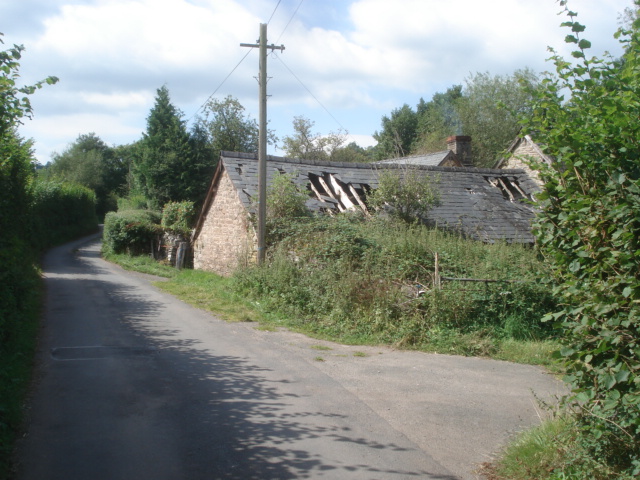
Image: © Trevor Rickard Taken: 21 Aug 2007
A real tumble-down property, but lived in as evidenced by the smoke.
Images are licensed for reuse under creativecommons.org/licenses/by-sa/2.0
Image Location
Latitude
52.071942
Longitude
-3.192812