This used to be a road junction!
Introduction
The photograph on this page of This used to be a road junction! by N Chadwick as part of the Geograph project.
The Geograph project started in 2005 with the aim of publishing, organising and preserving representative images for every square kilometre of Great Britain, Ireland and the Isle of Man.

There are currently over 7.5m images from over 14,400 individuals and you can help contribute to the project by visiting https://www.geograph.org.uk
This used to be a road junction!
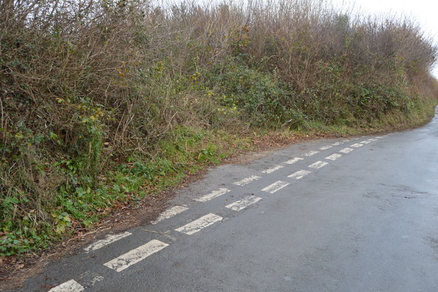
Image: © N Chadwick Taken: 3 Dec 2016
The road was blocked when the Langage Solar Farm was built behind the hedge.
Images are licensed for reuse under creativecommons.org/licenses/by-sa/2.0
Image Location


Leaflet Map data © OpenStreetMap
Latitude
50.38931
Longitude
-4.003715