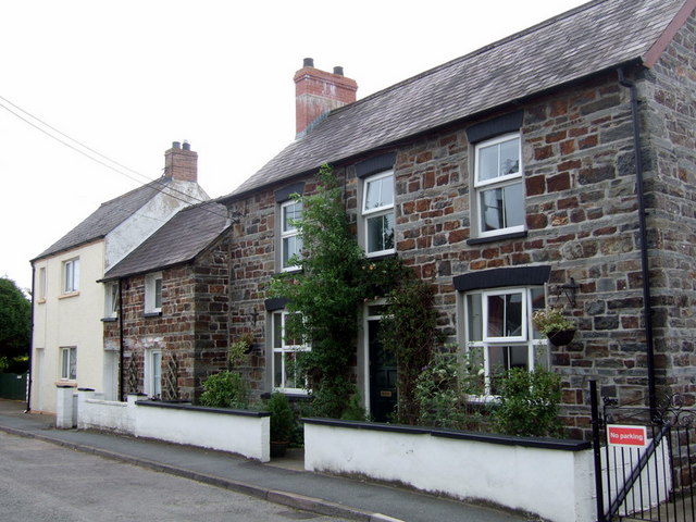
Old house in Feidrhenffordd
Introduction
The photograph on this page of Old house in Feidrhenffordd by Natasha Ceridwen de Chroustchoff as part of the Geograph project.
The Geograph project started in 2005 with the aim of publishing, organising and preserving representative images for every square kilometre of Great Britain, Ireland and the Isle of Man.
There are currently over 7.5m images from over 14,400 individuals and you can help contribute to the project by visiting https://www.geograph.org.uk

Image: © Natasha Ceridwen de Chroustchoff Taken: 24 Aug 2007
This house displays the banded-stone building technique that was used in this region for centuries. It is an attractive old place that could once have been a farm. The town expanded in this direction, northwards from its original nucleus around the bridge and the castle, during the last 3 decades of the C19 and became New Town. A glance at the map explains the name of the street, which means old-road-lane: before the by-pass it was the route that connected Cardigan and Llangoedmor to the southeast. It is now a cul-se-sac with the new road cutting across the end.

