Ysgol Uwchradd Aberteifi/Cardigan Secondary School
Introduction
The photograph on this page of Ysgol Uwchradd Aberteifi/Cardigan Secondary School by Natasha Ceridwen de Chroustchoff as part of the Geograph project.
The Geograph project started in 2005 with the aim of publishing, organising and preserving representative images for every square kilometre of Great Britain, Ireland and the Isle of Man.

There are currently over 7.5m images from over 14,400 individuals and you can help contribute to the project by visiting https://www.geograph.org.uk
Ysgol Uwchradd Aberteifi/Cardigan Secondary School
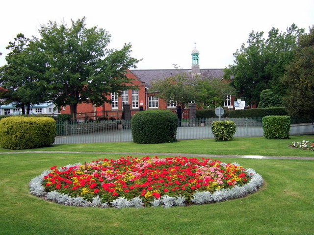
Image: © Natasha Ceridwen de Chroustchoff Taken: 24 Aug 2007
Viewed from Victoria Gardens. Attractive late Victorian brick-built Intermediate School (originally) later expanded as a comprehensive school.
Images are licensed for reuse under creativecommons.org/licenses/by-sa/2.0
Image Location
Latitude
52.087598
Longitude
-4.656404