The Lany Road, Halliday's Bridge, Hillsborough/Moira (April 2017)
Introduction
The photograph on this page of The Lany Road, Halliday's Bridge, Hillsborough/Moira (April 2017) by Albert Bridge as part of the Geograph project.
The Geograph project started in 2005 with the aim of publishing, organising and preserving representative images for every square kilometre of Great Britain, Ireland and the Isle of Man.

There are currently over 7.5m images from over 14,400 individuals and you can help contribute to the project by visiting https://www.geograph.org.uk
The Lany Road, Halliday's Bridge, Hillsborough/Moira (April 2017)
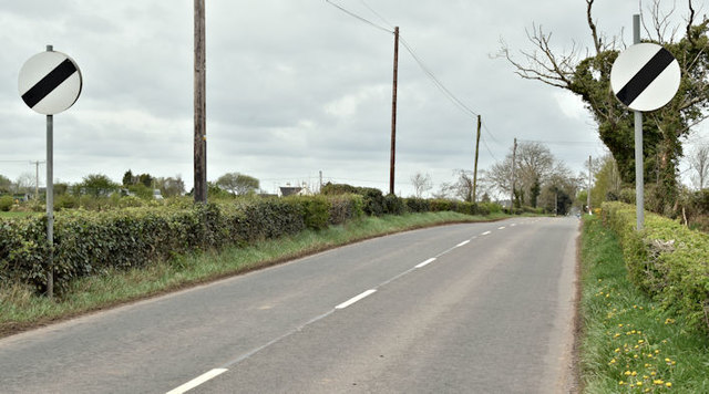
Image: © Albert Bridge Taken: 18 Apr 2017
See Image The minor Lany Road, heading towards Moira, at the end of the short 40mph restriction through Halliday’s Bridge. For reference purposes the pumping station is just behind me to the left.
Images are licensed for reuse under creativecommons.org/licenses/by-sa/2.0
Image Location
Latitude
54.473391
Longitude
-6.150008