Looking east along Greenland Road
Introduction
The photograph on this page of Looking east along Greenland Road by Robert Graham as part of the Geograph project.
The Geograph project started in 2005 with the aim of publishing, organising and preserving representative images for every square kilometre of Great Britain, Ireland and the Isle of Man.

There are currently over 7.5m images from over 14,400 individuals and you can help contribute to the project by visiting https://www.geograph.org.uk
Looking east along Greenland Road
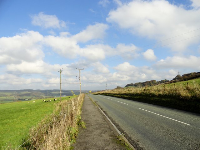
Image: © Robert Graham Taken: 25 Oct 2016
This country road leads from the village of Quebec to Langley Park and takes its name from Greenland Farm, which stands beside it. The elevation above the Browney valley gives good views of the north side of the valley in the distance.
Images are licensed for reuse under creativecommons.org/licenses/by-sa/2.0
Image Location
Latitude
54.788849
Longitude
-1.714302