Clifford's House Farm, Quebec
Introduction
The photograph on this page of Clifford's House Farm, Quebec by Robert Graham as part of the Geograph project.
The Geograph project started in 2005 with the aim of publishing, organising and preserving representative images for every square kilometre of Great Britain, Ireland and the Isle of Man.

There are currently over 7.5m images from over 14,400 individuals and you can help contribute to the project by visiting https://www.geograph.org.uk
Clifford's House Farm, Quebec
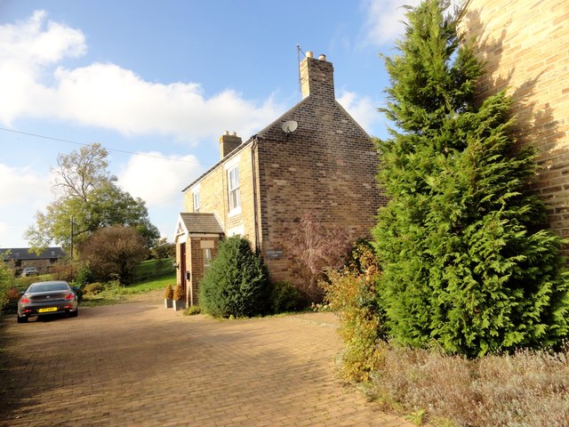
Image: © Robert Graham Taken: 25 Oct 2016
This farm is to the south of the present village, which wasn't built until the late C19. In contrast, the farm here is shown on the 1861 Ordnance Survey map, and is probably early C19 in date. However, this was not the original farmhouse and doesn't appear until the 1923 O S map.
Images are licensed for reuse under creativecommons.org/licenses/by-sa/2.0
Image Location
Latitude
54.786259
Longitude
-1.721007