Deer Park, Henfield
Introduction
The photograph on this page of Deer Park, Henfield by Simon Carey as part of the Geograph project.
The Geograph project started in 2005 with the aim of publishing, organising and preserving representative images for every square kilometre of Great Britain, Ireland and the Isle of Man.

There are currently over 7.5m images from over 14,400 individuals and you can help contribute to the project by visiting https://www.geograph.org.uk
Deer Park, Henfield
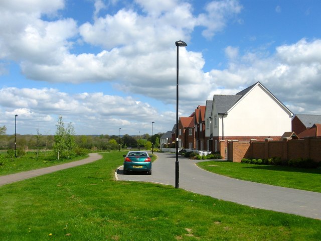
Image: © Simon Carey Taken: 18 Apr 2017
Part of a new estate built on the land once owned by Image that was completed in the last ten years. Once part of a field called Great Lodge Field according to Henfield's 1844 tithe map, both the field name and current road name allude to the former medieval deer park known as Henfield Park. These houses look out over Image
Images are licensed for reuse under creativecommons.org/licenses/by-sa/2.0
Image Location
Latitude
50.936799
Longitude
-0.279884