Parsonage Farm
Introduction
The photograph on this page of Parsonage Farm by Simon Carey as part of the Geograph project.
The Geograph project started in 2005 with the aim of publishing, organising and preserving representative images for every square kilometre of Great Britain, Ireland and the Isle of Man.

There are currently over 7.5m images from over 14,400 individuals and you can help contribute to the project by visiting https://www.geograph.org.uk
Parsonage Farm
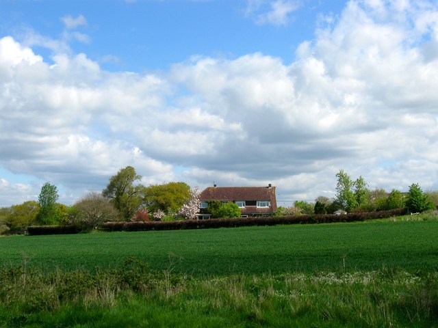
Image: © Simon Carey Taken: 18 Apr 2017
Current house appears to date from the 1950s though the site is much older. Much of the land north of Henfield up to Chess Brook was once part of the medieval Henfield Park, a deer park owned by the Bishop of Chichester, that was disparked in the 16th century. The farm is believed to stand on the site of the former lodge
Images are licensed for reuse under creativecommons.org/licenses/by-sa/2.0
Image Location
Latitude
50.938093
Longitude
-0.282256