West End Lane, Henfield
Introduction
The photograph on this page of West End Lane, Henfield by Simon Carey as part of the Geograph project.
The Geograph project started in 2005 with the aim of publishing, organising and preserving representative images for every square kilometre of Great Britain, Ireland and the Isle of Man.

There are currently over 7.5m images from over 14,400 individuals and you can help contribute to the project by visiting https://www.geograph.org.uk
West End Lane, Henfield
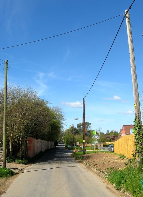
Image: © Simon Carey Taken: 18 Apr 2017
The lane heads west out of henfield to provide access to a number of individual farms and properties between here and the River Adur. To the right is the Bishop Park Estate whilst to the left the boards mark the location of another development site currently awaiting an appeal. Quite how the narrow lane will contend with the construction of these two small estates without road widening will be interesting.
Images are licensed for reuse under creativecommons.org/licenses/by-sa/2.0
Image Location
Latitude
50.931893
Longitude
-0.288746