Former miners Institute, Quebec
Introduction
The photograph on this page of Former miners Institute, Quebec by Robert Graham as part of the Geograph project.
The Geograph project started in 2005 with the aim of publishing, organising and preserving representative images for every square kilometre of Great Britain, Ireland and the Isle of Man.

There are currently over 7.5m images from over 14,400 individuals and you can help contribute to the project by visiting https://www.geograph.org.uk
Former miners Institute, Quebec
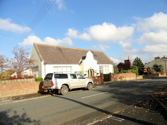
Image: © Robert Graham Taken: 25 Oct 2016
Now a private house , this was built in 1901 (date over the door), for the thriving mining community here. Now most of the houses are gone and the pit of course.
Images are licensed for reuse under creativecommons.org/licenses/by-sa/2.0
Image Location
Latitude
54.78815
Longitude
-1.722705