The eastern end of the miniature railway
Introduction
The photograph on this page of The eastern end of the miniature railway by Christine Johnstone as part of the Geograph project.
The Geograph project started in 2005 with the aim of publishing, organising and preserving representative images for every square kilometre of Great Britain, Ireland and the Isle of Man.

There are currently over 7.5m images from over 14,400 individuals and you can help contribute to the project by visiting https://www.geograph.org.uk
The eastern end of the miniature railway
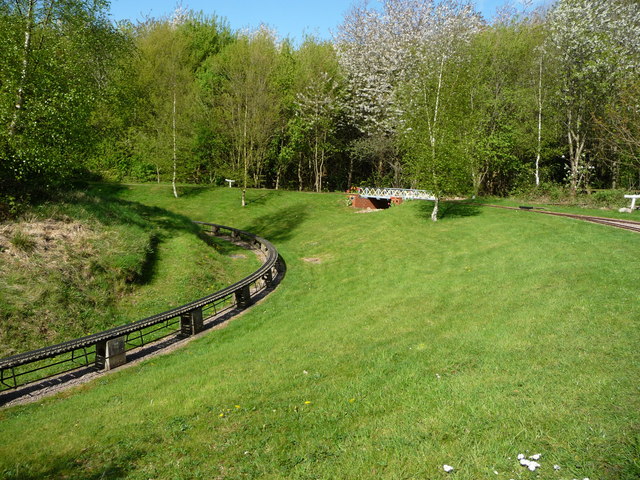
Image: © Christine Johnstone Taken: 15 Apr 2017
In Rushcliffe Country Park. Operated by the Nottingham Society of Model and Experimental Engineers Ltd. The inner raised track is a narrower gauge than the outer track.
Images are licensed for reuse under creativecommons.org/licenses/by-sa/2.0
Image Location
Latitude
52.885172
Longitude
-1.145294