The country end, Mid Suffolk Light Railway
Introduction
The photograph on this page of The country end, Mid Suffolk Light Railway by Robin Webster as part of the Geograph project.
The Geograph project started in 2005 with the aim of publishing, organising and preserving representative images for every square kilometre of Great Britain, Ireland and the Isle of Man.

There are currently over 7.5m images from over 14,400 individuals and you can help contribute to the project by visiting https://www.geograph.org.uk
The country end, Mid Suffolk Light Railway
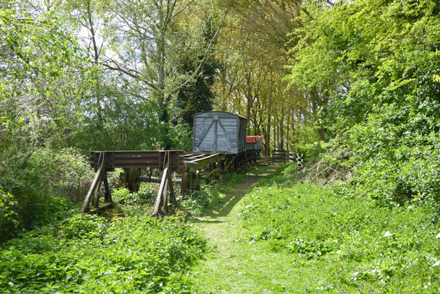
Image: © Robin Webster Taken: 17 Apr 2017
A heritage line on a fragment (less than 500 m) of the original Mid Suffolk Light Railway, which was closed to all traffic in 1952.
Images are licensed for reuse under creativecommons.org/licenses/by-sa/2.0
Image Location
Latitude
52.250265
Longitude
1.123661