Housing on School Road, Stoke Fleming
Introduction
The photograph on this page of Housing on School Road, Stoke Fleming by Derek Harper as part of the Geograph project.
The Geograph project started in 2005 with the aim of publishing, organising and preserving representative images for every square kilometre of Great Britain, Ireland and the Isle of Man.

There are currently over 7.5m images from over 14,400 individuals and you can help contribute to the project by visiting https://www.geograph.org.uk
Housing on School Road, Stoke Fleming
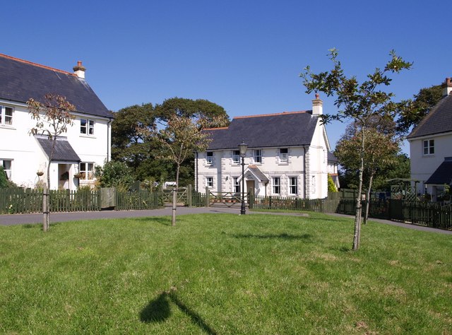
Image: © Derek Harper Taken: 25 Aug 2007
The building with the quoins is Pook House. This little green is beside School Road, which leads out of the village towards Bowden.
Images are licensed for reuse under creativecommons.org/licenses/by-sa/2.0
Image Location
Latitude
50.324569
Longitude
-3.602558