Junction of Silverwoods Way & Worcester Road, Kidderminster, Worcs
Introduction
The photograph on this page of Junction of Silverwoods Way & Worcester Road, Kidderminster, Worcs by P L Chadwick as part of the Geograph project.
The Geograph project started in 2005 with the aim of publishing, organising and preserving representative images for every square kilometre of Great Britain, Ireland and the Isle of Man.

There are currently over 7.5m images from over 14,400 individuals and you can help contribute to the project by visiting https://www.geograph.org.uk
Junction of Silverwoods Way & Worcester Road, Kidderminster, Worcs
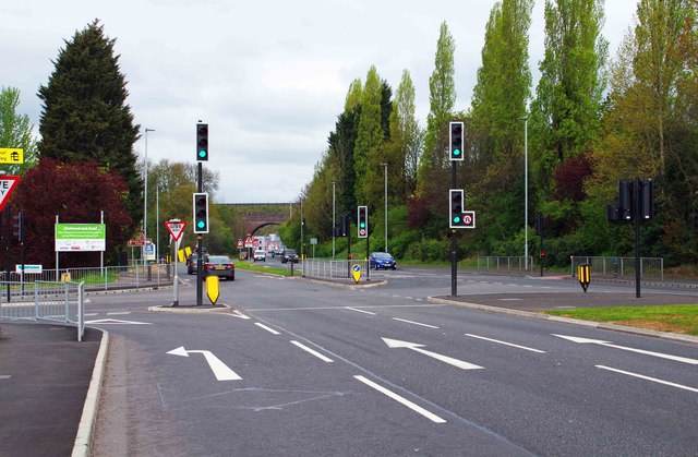
Image: © P L Chadwick Taken: 16 Apr 2017
The junction is controlled by traffic lights on Worcester Road plus a left filter in this direction into Silverwoods Way. The latter is also known as the Hoobrook Link Road and traverses the former British Sugar Corporation site which is being redeveloped.
Images are licensed for reuse under creativecommons.org/licenses/by-sa/2.0
Image Location
Latitude
52.372244
Longitude
-2.247746