Marley Houses, Quebec
Introduction
The photograph on this page of Marley Houses, Quebec by Robert Graham as part of the Geograph project.
The Geograph project started in 2005 with the aim of publishing, organising and preserving representative images for every square kilometre of Great Britain, Ireland and the Isle of Man.

There are currently over 7.5m images from over 14,400 individuals and you can help contribute to the project by visiting https://www.geograph.org.uk
Marley Houses, Quebec
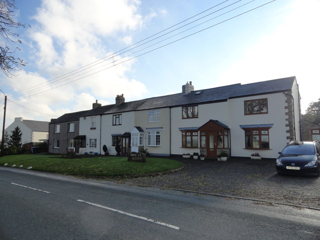
Image: © Robert Graham Taken: 25 Oct 2016
This street of cottages is at the west end of the little village of Quebec. The village was expanded from a single farm in the late C19 for colliery workers. The pit closed in the 1920's and most of the houses were demolished in the 1950's.
Images are licensed for reuse under creativecommons.org/licenses/by-sa/2.0
Image Location


Leaflet Map data © OpenStreetMap
Latitude
54.788882
Longitude
-1.728453