7-15 Garrick Street
Introduction
The photograph on this page of 7-15 Garrick Street by Stephen Richards as part of the Geograph project.
The Geograph project started in 2005 with the aim of publishing, organising and preserving representative images for every square kilometre of Great Britain, Ireland and the Isle of Man.

There are currently over 7.5m images from over 14,400 individuals and you can help contribute to the project by visiting https://www.geograph.org.uk
7-15 Garrick Street
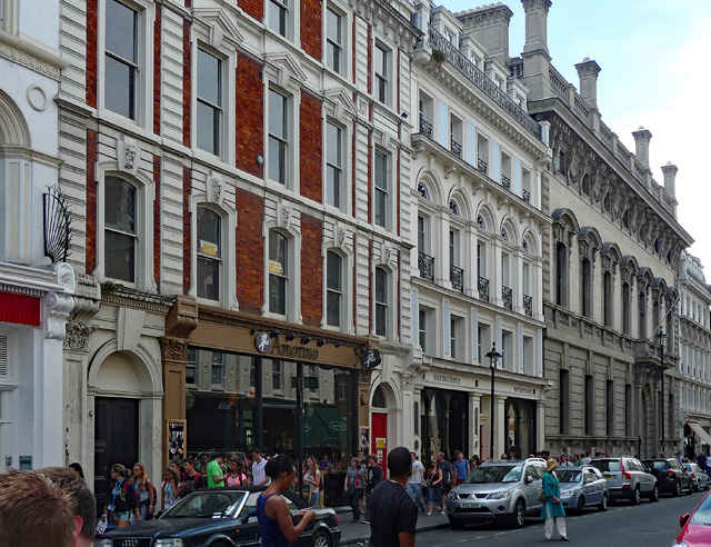
Image: © Stephen Richards Taken: 27 Jul 2013
An 1860s group, the far pair both by Frederick Marrable who had drawn up a development plan for the area for the Metropolitan Board of Works. The grand palazzo at the end is the Garrick Club, dated 1864, similar in style to the clubs on Pall Mall. Grade II/II* listed. The two nearest buildings were occupied at the time by Amorino (Italian ice cream) and Waterstones (books).
Images are licensed for reuse under creativecommons.org/licenses/by-sa/2.0
Image Location
Latitude
51.51133
Longitude
-0.12618