Footpath and Hemingbrough church
Introduction
The photograph on this page of Footpath and Hemingbrough church by Jonathan Thacker as part of the Geograph project.
The Geograph project started in 2005 with the aim of publishing, organising and preserving representative images for every square kilometre of Great Britain, Ireland and the Isle of Man.

There are currently over 7.5m images from over 14,400 individuals and you can help contribute to the project by visiting https://www.geograph.org.uk
Footpath and Hemingbrough church
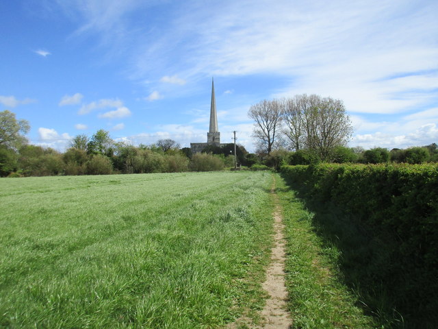
Image: © Jonathan Thacker Taken: 15 Apr 2017
The spire of Hemingbrough church is exactly twice the height of the tower on which it stands (126ft/63ft). In times past the spire was the dominant accent on the skyline of a large area. Now it is completely dwarfed by Drax power station Image
Images are licensed for reuse under creativecommons.org/licenses/by-sa/2.0
Image Location
Latitude
53.767493
Longitude
-0.979864