Stour Valley Walk
Introduction
The photograph on this page of Stour Valley Walk by Simon Carey as part of the Geograph project.
The Geograph project started in 2005 with the aim of publishing, organising and preserving representative images for every square kilometre of Great Britain, Ireland and the Isle of Man.

There are currently over 7.5m images from over 14,400 individuals and you can help contribute to the project by visiting https://www.geograph.org.uk
Stour Valley Walk
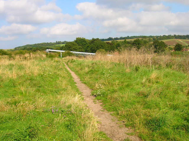
Image: © Simon Carey Taken: 24 Aug 2007
The Great Stour is to the right concealed by the foliage on the raised bank. I'm not sure what the structure ahead is but looks like something used to convey gravel or other such materials.
Images are licensed for reuse under creativecommons.org/licenses/by-sa/2.0
Image Location
Latitude
51.257486
Longitude
1.027902