Disused Creamery
Introduction
The photograph on this page of Disused Creamery by Dan Gregory as part of the Geograph project.
The Geograph project started in 2005 with the aim of publishing, organising and preserving representative images for every square kilometre of Great Britain, Ireland and the Isle of Man.

There are currently over 7.5m images from over 14,400 individuals and you can help contribute to the project by visiting https://www.geograph.org.uk
Disused Creamery
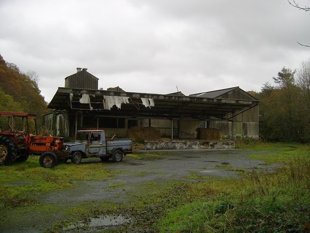
Image: © Dan Gregory Taken: 9 Nov 2006
The derelict creamery in the north-west of this square was built by the Pumpsaint and District Agricultural Co-operative Society in the 1930s and seems to have operated until the 1970s or possibly early '80s.
Images are licensed for reuse under creativecommons.org/licenses/by-sa/2.0
Image Location
Latitude
52.194185
Longitude
-3.972691