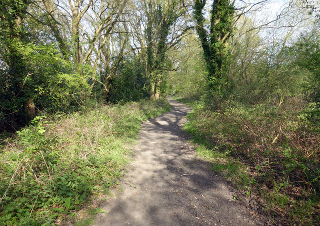
The Devil's Highway at Riseley
Introduction
The photograph on this page of The Devil's Highway at Riseley by Des Blenkinsopp as part of the Geograph project.
The Geograph project started in 2005 with the aim of publishing, organising and preserving representative images for every square kilometre of Great Britain, Ireland and the Isle of Man.
There are currently over 7.5m images from over 14,400 individuals and you can help contribute to the project by visiting https://www.geograph.org.uk

Image: © Des Blenkinsopp Taken: 11 Apr 2017
The Devil's Highway is a Roman Road which runs in a north easterly direction from the deserted Roman town at Silchester. Its course can be traced for many miles, sometimes as surfaced road, or rough track, as here; sometimes as forest path or for quite a way just as the county line between Berkshire and Surrey. It eventually disappears under suburbs somewhere around Virginia Water. I think blaming The Devil for building a straight road says more about English randomness than about Roman efficiency.

