Pasture near Stoke Golding in Leicestershire
Introduction
The photograph on this page of Pasture near Stoke Golding in Leicestershire by Roger D Kidd as part of the Geograph project.
The Geograph project started in 2005 with the aim of publishing, organising and preserving representative images for every square kilometre of Great Britain, Ireland and the Isle of Man.

There are currently over 7.5m images from over 14,400 individuals and you can help contribute to the project by visiting https://www.geograph.org.uk
Pasture near Stoke Golding in Leicestershire
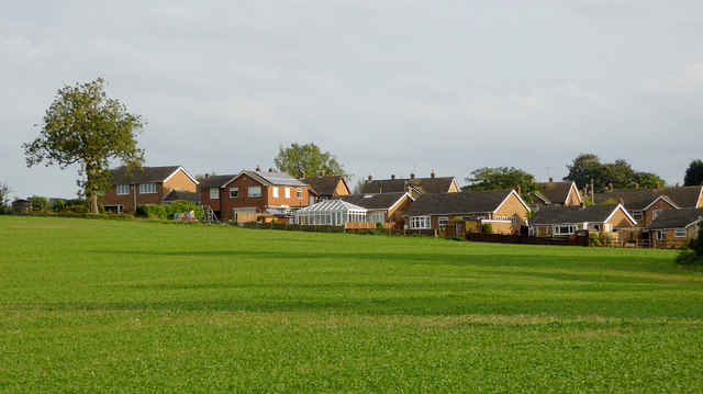
Image: © Roger D Kidd Taken: 24 Sep 2016
Looking south-east towards Stoke Golding from near the Ashby Canal. Late evening September sunshine emphasises the golden hues. The housing is in Roseway.
Images are licensed for reuse under creativecommons.org/licenses/by-sa/2.0
Image Location


Leaflet Map data © OpenStreetMap
Latitude
52.574298
Longitude
-1.409727