Flood Plain, River Great Stour
Introduction
The photograph on this page of Flood Plain, River Great Stour by Simon Carey as part of the Geograph project.
The Geograph project started in 2005 with the aim of publishing, organising and preserving representative images for every square kilometre of Great Britain, Ireland and the Isle of Man.

There are currently over 7.5m images from over 14,400 individuals and you can help contribute to the project by visiting https://www.geograph.org.uk
Flood Plain, River Great Stour
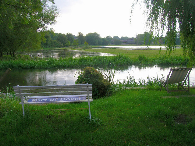
Image: © Simon Carey Taken: 24 Aug 2007
Beyond the river bank are the flooded fields of the Great Stour's flood plain. At times in the past they have been used as meadows dependent on the height of the river itself. The buildings beyond the flood plain belong to Deanery Farm and the furniture in front of the river to one of the properties behind the photographer.
Images are licensed for reuse under creativecommons.org/licenses/by-sa/2.0
Image Location
Latitude
51.256848
Longitude
1.010802