The Great Stour
Introduction
The photograph on this page of The Great Stour by Simon Carey as part of the Geograph project.
The Geograph project started in 2005 with the aim of publishing, organising and preserving representative images for every square kilometre of Great Britain, Ireland and the Isle of Man.

There are currently over 7.5m images from over 14,400 individuals and you can help contribute to the project by visiting https://www.geograph.org.uk
The Great Stour
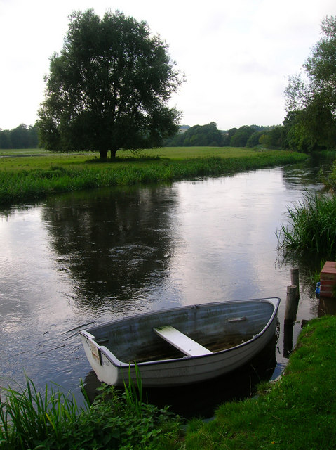
Image: © Simon Carey Taken: 24 Aug 2007
The Great Stour is formed by the confluence of the Upper Great Stour and East Stour at Ashford before heading through Canterbury and becoming the River Stour at its former mouth near Preston on joining with the Little Stour. The boat belongs to one of the properties in Riverside a few yards to the right out of the picture.
Images are licensed for reuse under creativecommons.org/licenses/by-sa/2.0
Image Location
Latitude
51.257238
Longitude
1.013121