Harvested Field
Introduction
The photograph on this page of Harvested Field by Simon Carey as part of the Geograph project.
The Geograph project started in 2005 with the aim of publishing, organising and preserving representative images for every square kilometre of Great Britain, Ireland and the Isle of Man.

There are currently over 7.5m images from over 14,400 individuals and you can help contribute to the project by visiting https://www.geograph.org.uk
Harvested Field
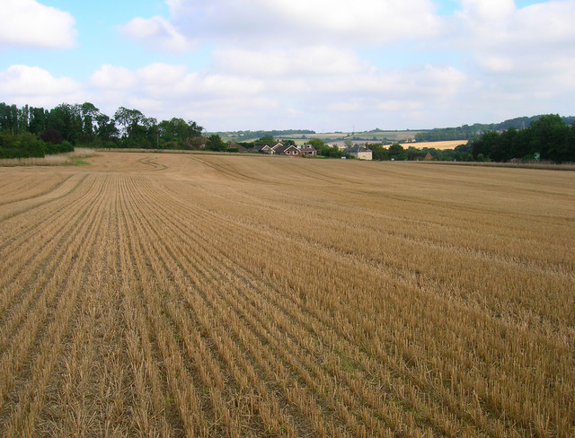
Image: © Simon Carey Taken: 24 Aug 2007
Occupying a corner formed by the A28 Ashford Road to the right and Hatch Lane straight ahead. Taken from the footpath that runs down through the field.
Images are licensed for reuse under creativecommons.org/licenses/by-sa/2.0
Image Location
Latitude
51.258956
Longitude
1.016244