Path on Laindon Common
Introduction
The photograph on this page of Path on Laindon Common by Marathon as part of the Geograph project.
The Geograph project started in 2005 with the aim of publishing, organising and preserving representative images for every square kilometre of Great Britain, Ireland and the Isle of Man.

There are currently over 7.5m images from over 14,400 individuals and you can help contribute to the project by visiting https://www.geograph.org.uk
Path on Laindon Common
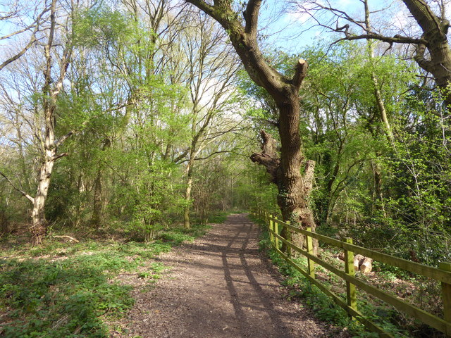
Image: © Marathon Taken: 2 Apr 2017
Laindon Common was set aside originally as grazing land. Now that grazing has ceased it has largely been colonised by trees, mainly oak and birch. It is irregular in shape and criss-crossed by footpaths. It is managed now by the Laindon Common Conservators, supported by Basildon Council and there is free access. This is at the north-west corner on the approach from Burstead Golf Course.
Images are licensed for reuse under creativecommons.org/licenses/by-sa/2.0
Image Location
Latitude
51.609105
Longitude
0.40949