Jack Mytton Way
Introduction
The photograph on this page of Jack Mytton Way by John M as part of the Geograph project.
The Geograph project started in 2005 with the aim of publishing, organising and preserving representative images for every square kilometre of Great Britain, Ireland and the Isle of Man.

There are currently over 7.5m images from over 14,400 individuals and you can help contribute to the project by visiting https://www.geograph.org.uk
Jack Mytton Way
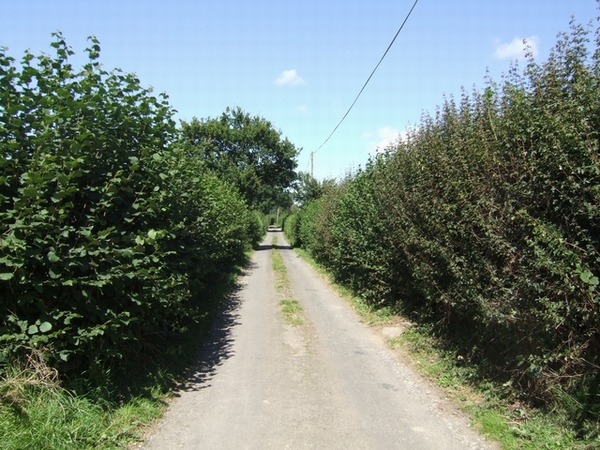
Image: © John M Taken: 25 Aug 2007
The long distance bridleway uses this local road for a couple of miles.
Images are licensed for reuse under creativecommons.org/licenses/by-sa/2.0
Image Location
Latitude
52.504974
Longitude
-2.448855