Keates Farmhouse
Introduction
The photograph on this page of Keates Farmhouse by Nigel Mykura as part of the Geograph project.
The Geograph project started in 2005 with the aim of publishing, organising and preserving representative images for every square kilometre of Great Britain, Ireland and the Isle of Man.

There are currently over 7.5m images from over 14,400 individuals and you can help contribute to the project by visiting https://www.geograph.org.uk
Keates Farmhouse
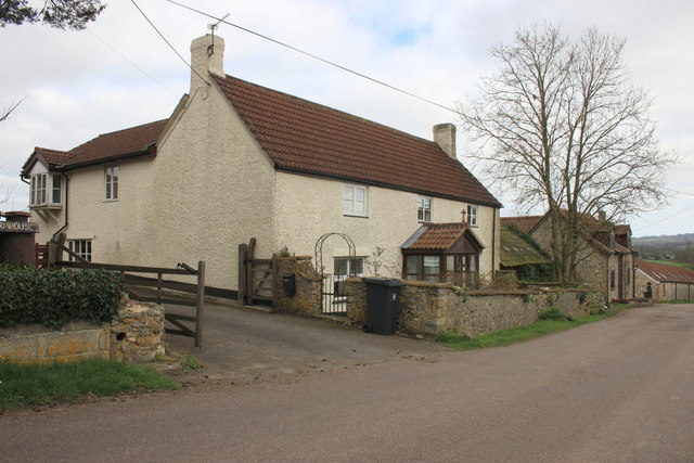
Image: © Nigel Mykura Taken: 12 Mar 2017
There appears to have been two farms here in days gone by, Keates farm and Lower Tytherleigh Farm. neither seems to be a working farm any longer and a number of the buildings are residential.
Images are licensed for reuse under creativecommons.org/licenses/by-sa/2.0
Image Location
Latitude
50.822822
Longitude
-2.964202