Road to Rushton
Introduction
The photograph on this page of Road to Rushton by David Smith as part of the Geograph project.
The Geograph project started in 2005 with the aim of publishing, organising and preserving representative images for every square kilometre of Great Britain, Ireland and the Isle of Man.

There are currently over 7.5m images from over 14,400 individuals and you can help contribute to the project by visiting https://www.geograph.org.uk
Road to Rushton
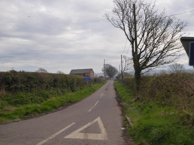
Image: © David Smith Taken: 30 Mar 2017
There is a level crossing, marked on some maps as Rushton Cottage Crossing
Images are licensed for reuse under creativecommons.org/licenses/by-sa/2.0
Image Location


Leaflet Map data © OpenStreetMap
Latitude
50.682707
Longitude
-2.173057