Track to Westhouse Farm
Introduction
The photograph on this page of Track to Westhouse Farm by Richard Vince as part of the Geograph project.
The Geograph project started in 2005 with the aim of publishing, organising and preserving representative images for every square kilometre of Great Britain, Ireland and the Isle of Man.

There are currently over 7.5m images from over 14,400 individuals and you can help contribute to the project by visiting https://www.geograph.org.uk
Track to Westhouse Farm
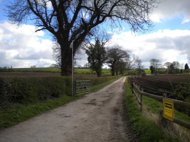
Image: © Richard Vince Taken: 2 Apr 2017
Off Moor Road north of Bestwood Village; also hosting a public footpath. The yellow sign (right) warns walkers that their movements will be recorded on CCTV or similar.
Images are licensed for reuse under creativecommons.org/licenses/by-sa/2.0
Image Location
Latitude
53.029593
Longitude
-1.177931