The Limes Barlaston
Introduction
The photograph on this page of The Limes Barlaston by Malcolm Neal as part of the Geograph project.
The Geograph project started in 2005 with the aim of publishing, organising and preserving representative images for every square kilometre of Great Britain, Ireland and the Isle of Man.

There are currently over 7.5m images from over 14,400 individuals and you can help contribute to the project by visiting https://www.geograph.org.uk
The Limes Barlaston
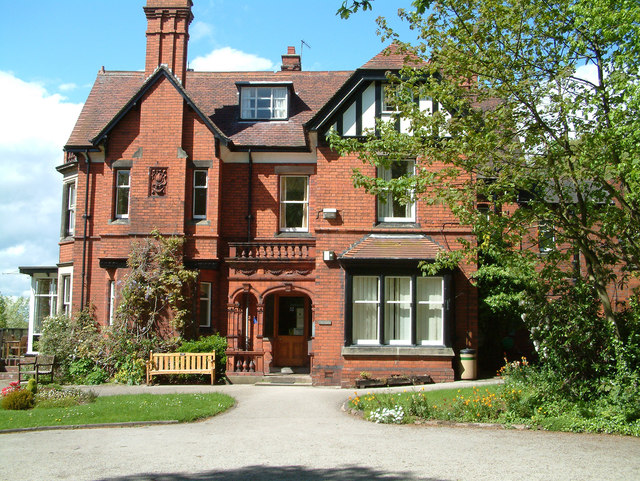
Image: © Malcolm Neal Taken: 5 May 2003
An impressive brick built house constructed, I think, in Victorian times.
Images are licensed for reuse under creativecommons.org/licenses/by-sa/2.0
Image Location
Latitude
52.942874
Longitude
-2.16573