North end of Squires Drive, Killarney Park
Introduction
The photograph on this page of North end of Squires Drive, Killarney Park by Richard Vince as part of the Geograph project.
The Geograph project started in 2005 with the aim of publishing, organising and preserving representative images for every square kilometre of Great Britain, Ireland and the Isle of Man.

There are currently over 7.5m images from over 14,400 individuals and you can help contribute to the project by visiting https://www.geograph.org.uk
North end of Squires Drive, Killarney Park
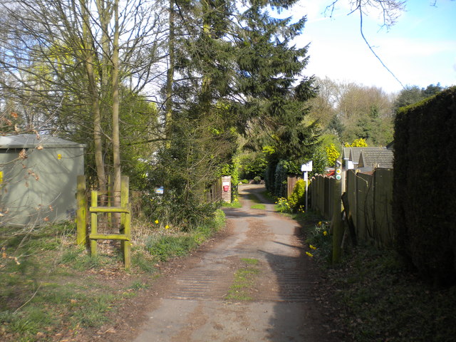
Image: © Richard Vince Taken: 2 Apr 2017
At this point, Squires Drive morphs into a track providing vehicular access to farms. The track also hosts a public footpath that forms part of the Robin Hood Way.
Images are licensed for reuse under creativecommons.org/licenses/by-sa/2.0
Image Location
Latitude
53.031307
Longitude
-1.153145