Wheatfield by Losely
Introduction
The photograph on this page of Wheatfield by Losely by Colin Smith as part of the Geograph project.
The Geograph project started in 2005 with the aim of publishing, organising and preserving representative images for every square kilometre of Great Britain, Ireland and the Isle of Man.

There are currently over 7.5m images from over 14,400 individuals and you can help contribute to the project by visiting https://www.geograph.org.uk
Wheatfield by Losely
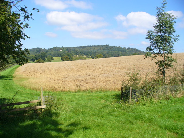
Image: © Colin Smith Taken: 25 Aug 2007
A wide grassy path runs along the western edge of this large cereal field. The ground is soggy after a week of rain, but draining quickly due to its sand content.
Images are licensed for reuse under creativecommons.org/licenses/by-sa/2.0
Image Location


Leaflet Map data © OpenStreetMap
Latitude
51.162421
Longitude
-0.425824