Demolition site, Raynville Road, Bramley
Introduction
The photograph on this page of Demolition site, Raynville Road, Bramley by Stephen Craven as part of the Geograph project.
The Geograph project started in 2005 with the aim of publishing, organising and preserving representative images for every square kilometre of Great Britain, Ireland and the Isle of Man.

There are currently over 7.5m images from over 14,400 individuals and you can help contribute to the project by visiting https://www.geograph.org.uk
Demolition site, Raynville Road, Bramley
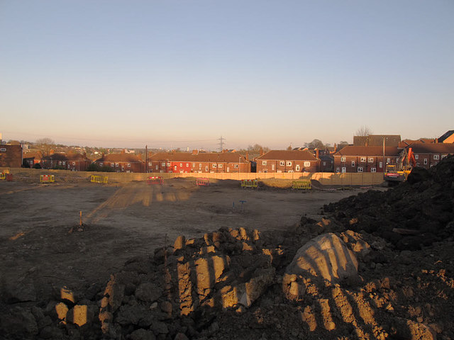
Image: © Stephen Craven Taken: 7 Apr 2017
The site had previously been a community centre Image but had been cleared ready for new construction. According to the planning application (leeds.gov.uk ref. 16/00509) the proposal by Habinteg Housing Association is for "11 affordable houses and 3 affordable bungalows, with associated parking and landscaping".
Images are licensed for reuse under creativecommons.org/licenses/by-sa/2.0
Image Location
Latitude
53.810662
Longitude
-1.612406