The River Lea Flood Relief Channel
Introduction
The photograph on this page of The River Lea Flood Relief Channel by Marathon as part of the Geograph project.
The Geograph project started in 2005 with the aim of publishing, organising and preserving representative images for every square kilometre of Great Britain, Ireland and the Isle of Man.

There are currently over 7.5m images from over 14,400 individuals and you can help contribute to the project by visiting https://www.geograph.org.uk
The River Lea Flood Relief Channel
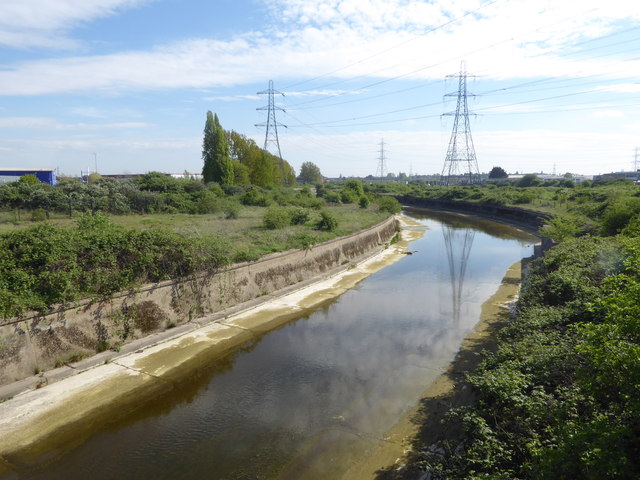
Image: © Marathon Taken: 12 Apr 2017
Work started on the River Lea Flood Relief Channel in 1947 following major flooding and it was fully operational by 1976. It is seen here from the slip road of the North Circular Road at http://www.geograph.org.uk/photo/5347537 More detail about the River Lea Flood Relief Channel can be seen at https://en.wikipedia.org/wiki/River_Lee_Flood_Relief_Channel
Images are licensed for reuse under creativecommons.org/licenses/by-sa/2.0
Image Location
Latitude
51.611732
Longitude
-0.035532