208 Mansfield Road
Introduction
The photograph on this page of 208 Mansfield Road by Michael Dibb as part of the Geograph project.
The Geograph project started in 2005 with the aim of publishing, organising and preserving representative images for every square kilometre of Great Britain, Ireland and the Isle of Man.

There are currently over 7.5m images from over 14,400 individuals and you can help contribute to the project by visiting https://www.geograph.org.uk
208 Mansfield Road
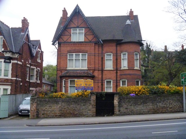
Image: © Michael Dibb Taken: 31 Mar 2017
This red brick house was built circa 1893 and is listed, grade II, with details at: https://www.historicengland.org.uk/listing/the-list/list-entry/1254762
Images are licensed for reuse under creativecommons.org/licenses/by-sa/2.0
Image Location
Latitude
52.965684
Longitude
-1.153088