Footbridge near Laughter Hole House
Introduction
The photograph on this page of Footbridge near Laughter Hole House by Derek Harper as part of the Geograph project.
The Geograph project started in 2005 with the aim of publishing, organising and preserving representative images for every square kilometre of Great Britain, Ireland and the Isle of Man.

There are currently over 7.5m images from over 14,400 individuals and you can help contribute to the project by visiting https://www.geograph.org.uk
Footbridge near Laughter Hole House
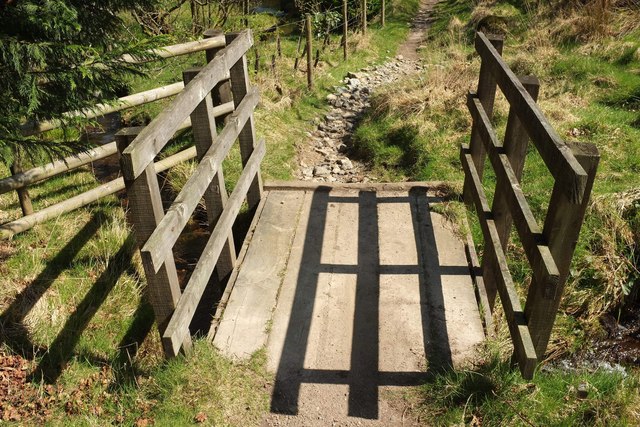
Image: © Derek Harper Taken: 9 Apr 2017
On Dartmoor Forest Bridleway 25; the tiny tributary of the East Dart that it crosses is unnamed on maps. The bridge is also shown in Image, from a little further back.
Images are licensed for reuse under creativecommons.org/licenses/by-sa/2.0
Image Location
Latitude
50.565763
Longitude
-3.891446