Housing estate, Cleobury Mortimer.
Introduction
The photograph on this page of Housing estate, Cleobury Mortimer. by Richard Webb as part of the Geograph project.
The Geograph project started in 2005 with the aim of publishing, organising and preserving representative images for every square kilometre of Great Britain, Ireland and the Isle of Man.

There are currently over 7.5m images from over 14,400 individuals and you can help contribute to the project by visiting https://www.geograph.org.uk
Housing estate, Cleobury Mortimer.
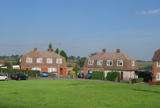
Image: © Richard Webb Taken: 12 Sep 2005
Taken from outside Cleobury Primary School, an old council estate on the edge of the small town. Some modern houses have been added , retaining the hipped gables. Much of the square is agricultural, and fields are visible behind the houses.
Images are licensed for reuse under creativecommons.org/licenses/by-sa/2.0
Image Location


Leaflet Map data © OpenStreetMap
Latitude
52.381944
Longitude
-2.483306