The Green Road near Ballyroney (1)
Introduction
The photograph on this page of The Green Road near Ballyroney (1) by Albert Bridge as part of the Geograph project.
The Geograph project started in 2005 with the aim of publishing, organising and preserving representative images for every square kilometre of Great Britain, Ireland and the Isle of Man.

There are currently over 7.5m images from over 14,400 individuals and you can help contribute to the project by visiting https://www.geograph.org.uk
The Green Road near Ballyroney (1)
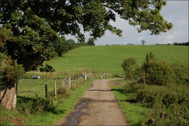
Image: © Albert Bridge Taken: 25 Aug 2007
The Green Road is a right of way across private land to the SE of Ballyroney. This is the path, in this square, where it passes along an existing farm lane. This is drumlin country.
Images are licensed for reuse under creativecommons.org/licenses/by-sa/2.0
Image Location
Latitude
54.253472
Longitude
-6.105856