Halifax FP100 in Mixenden Plantation
Introduction
The photograph on this page of Halifax FP100 in Mixenden Plantation by Humphrey Bolton as part of the Geograph project.
The Geograph project started in 2005 with the aim of publishing, organising and preserving representative images for every square kilometre of Great Britain, Ireland and the Isle of Man.

There are currently over 7.5m images from over 14,400 individuals and you can help contribute to the project by visiting https://www.geograph.org.uk
Halifax FP100 in Mixenden Plantation
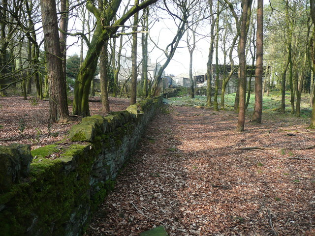
Image: © Humphrey Bolton Taken: 9 Apr 2017
The path should go through the farm at Mixenden Lodge to Hays Lane. Whether it does I shall find out later.
Images are licensed for reuse under creativecommons.org/licenses/by-sa/2.0
Image Location


Leaflet Map data © OpenStreetMap
Latitude
53.758048
Longitude
-1.913509