Tulloch Road
Introduction
The photograph on this page of Tulloch Road by Thomas Nugent as part of the Geograph project.
The Geograph project started in 2005 with the aim of publishing, organising and preserving representative images for every square kilometre of Great Britain, Ireland and the Isle of Man.

There are currently over 7.5m images from over 14,400 individuals and you can help contribute to the project by visiting https://www.geograph.org.uk
Tulloch Road
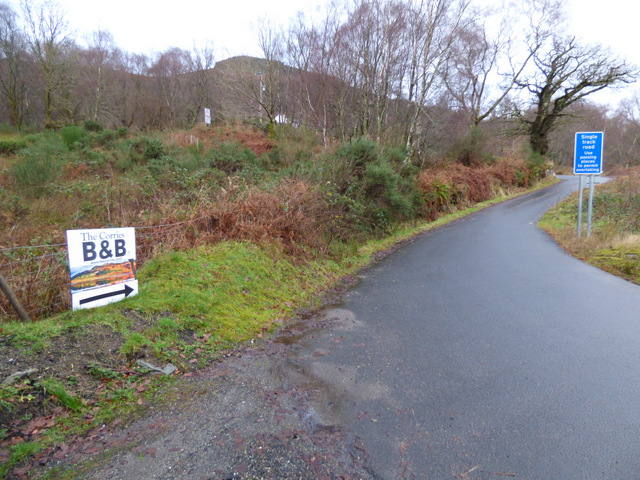
Image: © Thomas Nugent Taken: 29 Dec 2015
The steep, single track road via Glen Douglas to the A814 at Loch Long. Better known locally as Glen Douglas Road.
Images are licensed for reuse under creativecommons.org/licenses/by-sa/2.0
Image Location
Latitude
56.145695
Longitude
-4.666479