Leicester: The Turkey Caf
Introduction
The photograph on this page of Leicester: The Turkey Caf by John Sutton as part of the Geograph project.
The Geograph project started in 2005 with the aim of publishing, organising and preserving representative images for every square kilometre of Great Britain, Ireland and the Isle of Man.

There are currently over 7.5m images from over 14,400 individuals and you can help contribute to the project by visiting https://www.geograph.org.uk
Leicester: The Turkey Caf
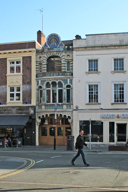
Image: © John Sutton Taken: 8 Apr 2017
A Grade II listed building of 1901, in "eccentric Moorish style" according to the listing text - http://www.britishlistedbuildings.co.uk/101074750-24-granby-street-castle-ward#.WO6OXCiwHZY .
Images are licensed for reuse under creativecommons.org/licenses/by-sa/2.0
Image Location
Latitude
52.633983
Longitude
-1.130987