Flats on Penn Road
Introduction
The photograph on this page of Flats on Penn Road by Annette Randle as part of the Geograph project.
The Geograph project started in 2005 with the aim of publishing, organising and preserving representative images for every square kilometre of Great Britain, Ireland and the Isle of Man.

There are currently over 7.5m images from over 14,400 individuals and you can help contribute to the project by visiting https://www.geograph.org.uk
Flats on Penn Road
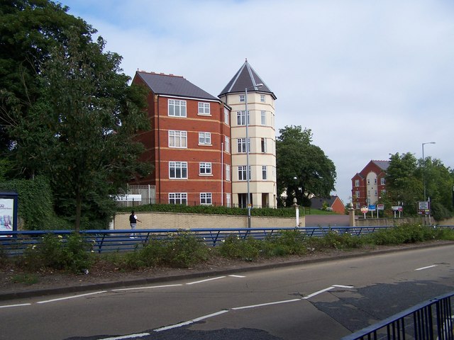
Image: © Annette Randle Taken: 25 Aug 2007
These flats, between Lea road and Penn Road, were built on land previously occupied by the Mount, and Y.W.C.A.
Images are licensed for reuse under creativecommons.org/licenses/by-sa/2.0
Image Location
Latitude
52.576947
Longitude
-2.136898