Wistaria Cottage, Mill End, Nep Town, Henfield
Introduction
The photograph on this page of Wistaria Cottage, Mill End, Nep Town, Henfield by Simon Carey as part of the Geograph project.
The Geograph project started in 2005 with the aim of publishing, organising and preserving representative images for every square kilometre of Great Britain, Ireland and the Isle of Man.

There are currently over 7.5m images from over 14,400 individuals and you can help contribute to the project by visiting https://www.geograph.org.uk
Wistaria Cottage, Mill End, Nep Town, Henfield
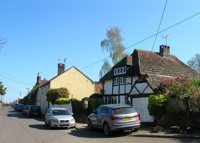
Image: © Simon Carey Taken: 9 Apr 2017
Located to the immediate east of Image and also built in the 17th century. The spelling is that taken from the name plate outside the house. Beyond is Image
Images are licensed for reuse under creativecommons.org/licenses/by-sa/2.0
Image Location
Latitude
50.928336
Longitude
-0.2792